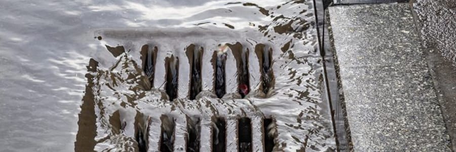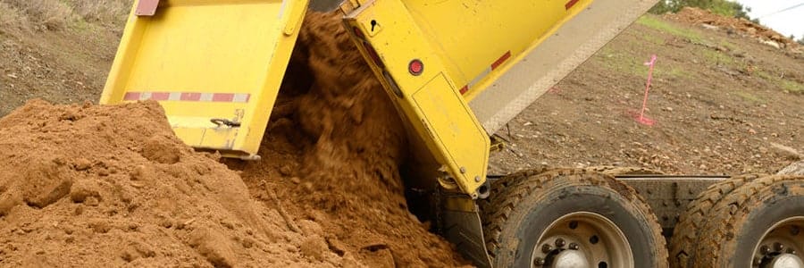
When a property is designated to be the site of construction, the first step is a preliminary assessment to evaluate the erosion potential of the area. This means for erosion and sediment control purposes, the site must be evaluated to determine what potential issues may occur, so that the proper control methods can be put into place. What follows is a step-by-step procedure to evaluate construction sites for erosion and sediment control measures.
Review Materials
The exact location and size of the site must be evaluated, along with the gradient of the areas that will be stripped of soil and vegetation for the construction. This includes ditch lines, culverts, bridges, water crossings, riparian zones, and other areas that will be affected.
Soil Evaluation: Whatever is to be constructed, the soil must be evaluated in terms of its thickness, strength, moisture content, and stability if it is along a slope. You may need aerial photos along with soil samples from different depths to get a full understanding of the area itself. Basic testing information should include the following;
- Soil Classification, Plasticity Index, and Moisture Content
- Soil Permeability, Gradation and Atterberg Limit Testing, and full Erosion Perspective
- Identifying Sensitive Areas, Watercourses, Fish Habitats, and More
You may need to assess the time of construction based on wildlife and aquatic considerations, along with which areas of the property will need to be changed.
Aerial Photography & Maps
Aerial Photos: This is an important step in understanding the surface features and unique characteristics of the site. The use of good aerial photos will help in understanding existing drainage features, streams, and how the land holds water after a rainfall. You can even evaluate the type of vegetation and soil cover to better understand the characteristics of the site itself. Many existing aerial photos can be found in government sites, such as the Alberta Sustainable Resources Development along with universities such as the University of Alberta.
Geology Maps: They provide additional information on the soil in the area. When combined with soil tests, it can offer a clear picture of what type of erosion and sediment control issues may be faced during the construction process. You can find geology maps from Alberta Geological Survey, Geological Survey of Canada, and other sources.
Vegetative Cover Maps: These are maps that provide information about the vegetation and what concerns there may be on the property. Site level vegetation cover maps are the best in providing the details needed to create a proper ESC plan. You can get such maps from the same sources as the geology maps.
In addition, you’ll need to evaluate the floodplain of the site, especially if there are sediment issues that might cause additional problems during and after construction. You can obtain such information from places such as Alberta Environment and Environment Canada, along with the local municipalities.
Inspecting the Site
A basic inspection of the construction site is required to properly prepare an ESC strategy. The inspection should be done after a rainfall if possible, but certainly with no snow or frozen conditions. A proper inspection will cover the following;
Riparian Zones: All zones of this type need to be identified. This includes where watercourses originate and pass through the area under construction. This way, these zones can be properly buffered, and any gradients of significance should be noted.
Drainage: Basically, it is discovering where the water goes after a rainfall. The inspection should also identify where potentially new areas of drainage will occur and plan accordingly. This inspection also includes watercourses, where the water moves and settles on the site. Given what type of construction is planned, there may need to be an estimation of bank full elevation.
Types of Soil: Different soil types mean different erosion possibilities. This means that the soil needs to be examined to determine the erosion potential and buildup of sediment for control purposes.
In addition, there should be notations on the existing water crossings, drainage areas, vegetation, and sensitive areas that may change drastically when construction occurs. If the property has slopes, it should be determined if there have been any failures leading to increased erosion and buildup of sediment.
Working with Regulatory Agencies
Any construction will require working with regulatory agencies that oversee such activities. This means that your environmental assessment will have to be reported to the proper authorities. This may include the following;
- History of Slope Failures
- Rainfall Data
- Habitat Information of Fish and Wildlife
- Information on any previous Erosion and Sediment Control Methods
- Obtaining Proper Permits
You’ll want to ensure having access to all relevant information both before and after you make your initial inspection of the property. To provide for the best erosion and sediment control procedures, you will need to be as informed as possible. Plus, you’ll want to contact sources such as the Alberta Environment, Alberta Sustainable Resource Department, and Alberta Agriculture and Rural Development for further information.
Tag: erosion control, Sediment Control, site assessment